
ARIMA aims to develop a spatial information platform on multi-hazard risks (MRIP) for stakeholders in the Marrakech-Safi Region, based on innovative risk assessment and simulation methods.
The platform provides spatial information on current and future multi-hazard risks affecting the region’s vulnerable socio-ecological system.
The ultimate goal is to equip regional beneficiaries (Hydraulic Agency, Urban Agency, Civil Protection, Agricultural Agency) with information that enables them to integrate risk data and assessments into their risk management strategies, and to enhance their capacity to define preventive measures against the most relevant hazards affecting the region (floods, droughts, flash-flood-related erosion).

Activities carried out:
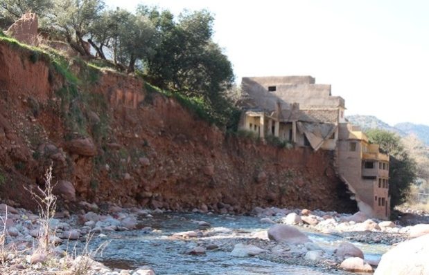
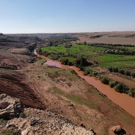
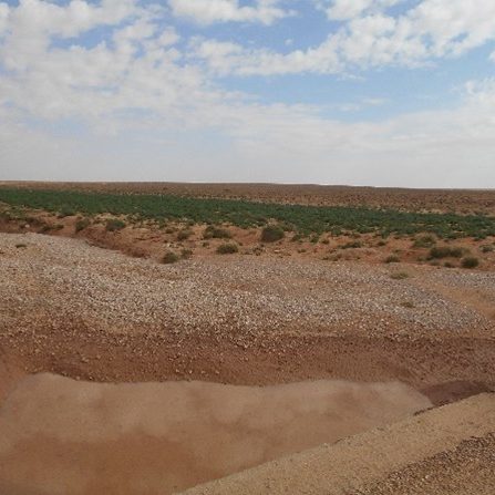
- Development and implementation of innovative scientific methods to assess areas of current high multi-hazard vulnerability (floods, droughts, erosion) as well as simulated future risk scenarios in the Marrakech-Safi region.
- Integration of results into a spatial information system on multi-hazard risks, co-designed and tested for practical use by beneficiaries.
- Comparative analysis (benchmarking) of existing disaster risk reduction (DRR) strategies and proposal of complementary solutions.
- Assessment and strengthening of existing disaster risk management capacities.